
Finding Who Lives on a Stanton Street
An address search is a chain, not a single result. Begin with the site address and ask what the next record can actually establish. The tax and parcel systems can normalize an address and give it an APN. The GIS viewer can show the lot and nearby polygons. The recorder can show recorded parties. A permit file can identify project participants. A reverse directory can show a listed occupant for one year. None of these, alone, is a complete household roster.
Use the following Stanton address workflow when a block or address is the starting clue. Preserve unit numbers and legal descriptions. A multi-unit parcel may contain many households, while one tax account can carry a mailing address far from the physical site.
- Run the address through the Orange County secured property search and record the APN, situs, tax year, and map reference.
- Open the same parcel in the OC Interactive Map and Land Records viewer, then note adjacent lots, alleys, corner conditions, and street names.
- Carry each APN into the tax and assessment views, keeping situs and mailing fields separate.
- Use the recorder’s grantor and grantee index for a deed, lien, release, or map, then order a copy if the index result matters.
- Request address-specific permits or planning files from Stanton, and use reverse directories for historical occupant clues.
Note: An APN organizes parcel research, but it does not identify every household at a multi-unit address.
Turn a Stanton Address Into an APN
The Orange County property search is the strongest first step for a current Stanton address trail because the APN can travel across systems. The secured tax search supports address autocomplete, APN, and Tax Default Number modes. Retry a failed address with a normalized street name or the parcel number. An address can be labeled Stanton even when its postal city is Anaheim or Garden Grove, so confirm the municipal jurisdiction through parcel or city records rather than relying on the mail label.
For an address that returns multiple units or a broad complex, record the unit wording as entered. The APN identifies the parcel, not every person connected to it. The tax result may show tax status, installment information, assessed amounts, and legal-description shorthand. Those fields help identify the parcel and its roll year. They do not provide a public list of occupants.
Orange County’s tax bill search has a separate help route at 714-834-3411 and AskTaxCollector@octreasurer.gov. Use the office’s official instructions when an address, tax default number, or APN does not resolve.
The county property search screen shows how an address becomes a parcel key.
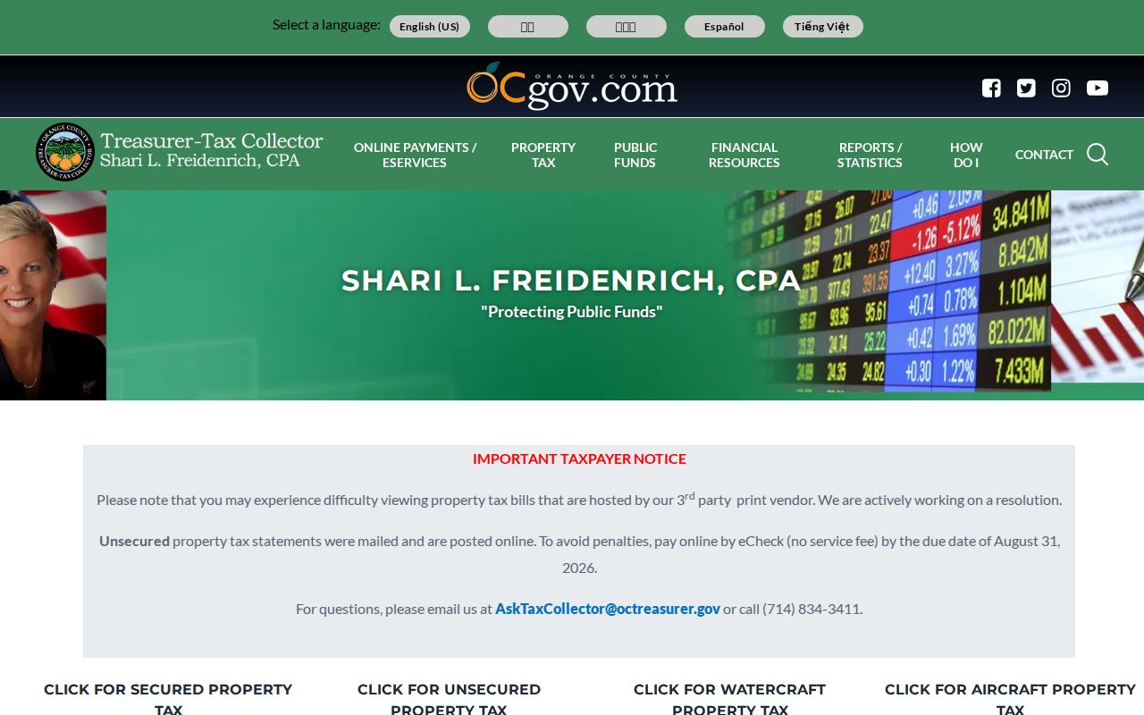
The property search is an address-normalization step. Carry the returned APN into the county map and recorder tools instead of repeating a loose street-text search.
The Orange County Treasurer-Tax Collector tax-bill search adds secured address, APN, and tax-default modes to the parcel trail.
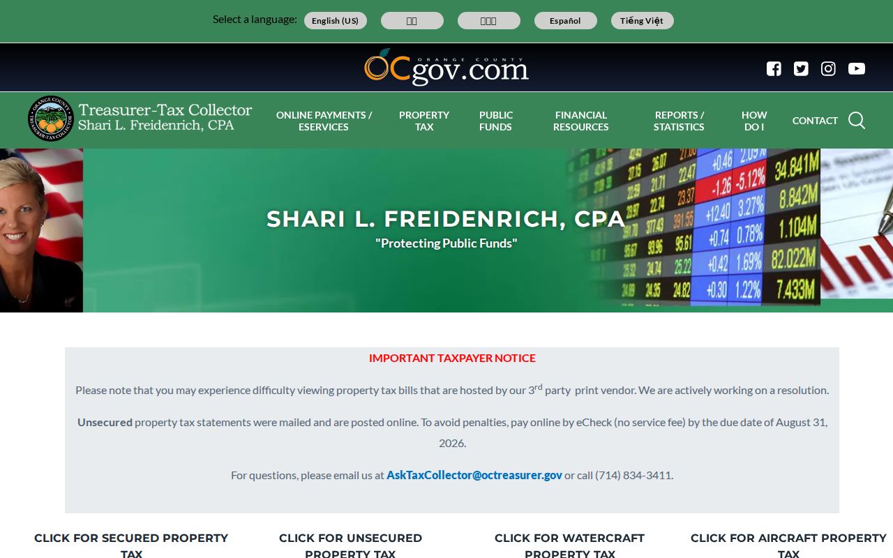
The tax-bill view adds roll and installment context, while the APN remains the key for the GIS and recorder checks that follow.
Browse Stanton Parcels in the County Map
The OC Public Works land-records viewer adds the spatial layer missing from a text search. Center the map on the target, inspect the parcel polygon, and record every APN that physically touches or fronts the relevant segment. A visual map is valuable for a street-by-street Stanton directory, but it does not document an owner or occupant layer. Corner lots, alleys, condominiums, and flag lots can make visual proximity different from legal adjacency.
OC Tax Map updates its property-tax-information layer annually, generally after the late-July roll release. It can display the base levy and special assessments, including CFDs, Mello-Roos, and PACE where applicable. A map date belongs in research notes because the parcel view and the tax roll can be from different cycles.
For each selected parcel, create a row with the map-view date, APN, situs, tract or lot if shown, touching street or alley, assessed-value year, tax status, newest recorded transfer identifier, and permit request range. That row keeps adjacent properties from being blended into one story.
Open the OC Land Records viewer before interpreting a street sequence.
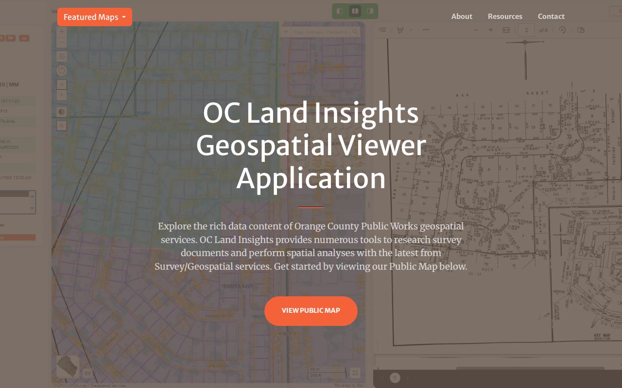
Parcel selection supplies the APNs for the next record checks. It does not turn a map polygon into a household entry.
Stanton Records Searchable by Street
A useful address index keeps record roles visible. The table below separates current parcel evidence, title evidence, project history, and historical occupancy clues. The recorder index is not the same thing as the assessor view. The voter system is not a public block browser. A permit applicant may be an architect, contractor, owner-builder, or other signer. Treat each row as a different kind of evidence.
| Record set | Keeper | What it shows | Access |
|---|---|---|---|
| Secured tax search | Orange County Tax Collector | Address, APN, tax status, installments | Free address or APN search |
| Assessed-value roll | Orange County Assessor | Roll year, values, exemptions, APN | APN view; owner name omitted online |
| GIS parcel map | OC Public Works | Lot outlines, adjacent parcels, streets | Free interactive viewer |
| Deeds and liens | Clerk-Recorder | Grantors, grantees, dates, document classes | Index online; copy order for images |
| Permits and planning | Stanton departments | Project scope, applicant, contractor, hearings | CPRA or department request |
| Reverse directories | Library or reference collection | Listed occupant or business by address and year | 1955-1985 run, except 1961 |
The APN ties the tax, map, recorder, and permit chain together. The street name supports the directory and postal side of the search. A later question about one person belongs in the Stanton resident lookup, while a complete historical collection search belongs in the Directory Book.
Note: The newest deed and the newest directory entry can describe different people at different dates.
Situs, Mailing Address, and Legal Description
Orange County property forms distinguish the situs or property address from the owner mailing address. The mailing field can point to a post office box, a trust, an agent, a management office, or another parcel. It may be useful for notice history, but it is not the physical location of the street. The legal description and APN are the durable keys when a street label, unit number, or postal city changes.
- Parcel
- A defined unit of land recorded in the county’s cadastral and assessment systems.
- Situs
- The physical site where the parcel is located.
- Plat
- A recorded map that lays out lots, blocks, streets, easements, monuments, and boundaries.
- Criss-cross directory
- A directory with reverse address pages, letting a researcher move from a street and number to a listed occupant or business.
Stanton’s final-map checklist shows why legal geography outlasts a postal label. Subdivision boundaries, lot and block lines, street centerlines, easements, city boundaries, and numbered parcels can all matter. Preserve tract, lot, block, and APN fields whenever an old address is hard to match.
Follow the Deed Trail Along a Street
The recorder’s grantor and grantee index can turn a current parcel into a sequence of recorded transfers. Since the web index begins in 1982, it is strongest for the newer portion of the address trail. Use the name, APN, document type, and recording date modes together. A deed of trust is financing, and a reconveyance or release shows lien satisfaction. Neither should be mistaken for a sale.
- Capture the newest title-affecting deed’s grantee, grantor, date, instrument number, and legal description.
- Search the grantor or seller as a prior grantee, narrowing by the APN or legal description when the portal allows.
- Separate deeds, deeds of trust, releases, liens, maps, and easements in your notes.
- When the web range ends, move to index books or fiche, the recorder counter, or Orange County Archives.
- Order the recorded copy when the index result must be checked against the full legal description.
The official grantor and grantee index is free for discovery. It does not display document images, complete signatures, or every field in the recorded instrument.
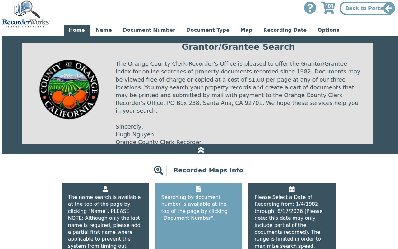
The index screen helps identify the document to request. Title evidence still comes from the recorded copy and its legal description.
Stanton Permits Show Project Roles
Stanton Building and Planning records can add a physical-change timeline to the current address record. A CPRA request should name the job address or APN, permit type, and date range. The permit form separates building from grading, commercial from residential, and single-family from apartment or condominium work. It asks for owner or owner-builder information, contractor license details, scope, square footage, valuation, and signer role.
The role matters. An applicant or contractor is a project participant, not automatically the owner or resident. Closed code cases can describe an address and compliance event, but complainant and sensitive details may be withheld. The city’s CityTech Permits Pro and CityTech Code catalog confirms address-keyed systems even though no public permit or code search was located. Ask for segregable records under the California Public Records Act.
Note: A permit participant helps date work at a parcel, not confirm ownership or occupancy.
Reverse Directories Cover a Stanton Era
The Library of Congress run of Orange County street-address directories covers 1955 through 1985, with 1961 missing. That makes it the clearest verified bridge from address to listed occupant after Stanton’s 1956 reincorporation. Browse the street sequence by number, copy the occupant or business entry, then check the alphabetical section for a name-to-address cross-check. An abbreviation key may add occupation, spouse, or other context depending on the volume.
Coverage is not proof of a continuous household. A name can be absent because of timing, spelling, enumeration choices, a move, or an incomplete volume. Pair a directory year with a census year, a deed, a permit, or a newspaper notice. The historical collection itself belongs in the Stanton Directory Book rather than being rebuilt as a current street record.
The Library of Congress collection framework is also useful for understanding map holdings, but no Stanton-specific Sanborn sheet was verified. Do not replace it with a Santa Ana sheet.
When Stanton Mail Says Anaheim or Garden Grove
ZIP geography can interrupt an address search. Stanton’s core ZIP is 90680, but city-address examples also carry 92804 with an Anaheim postal label and 92841 with a Garden Grove postal label. A postal city controls delivery language. It does not decide whether a parcel falls inside Stanton. Use the USPS address lookup to verify the deliverable ZIP, then use county GIS, APN, or Stanton records to confirm municipal jurisdiction.
Major east-west roads include Ball, Cerritos, Katella, Orangewood, Chapman, Lampson, and Garden Grove Boulevard. North-south axes include Beach, Dale, Knott, Western, and Magnolia. Flood channels, rail alignments, arterials, and multi-unit complexes can divide a street search. Preserve both the postal wording and the legal parcel wording in the research row.
Stanton Street Directory Limits
No public source in the documented county chain supplies every household member along a street. The assessor’s assessed-value view omits owner names online. The voter lookup authenticates the requester’s own record. GIS identifies parcels, not occupants. Court, vital, license, custody, and business systems answer narrow questions and carry their own access rules. A directory entry is dated and may omit a household, while a deed identifies a recorded interest rather than residence.
California voter-file information is restricted under Elections Code sections 2188, 2194, and 18109, and the county application requires an approved purpose, wet signature, and secure handling. Do not try to turn a restricted file into a block list. Use the official custodian when a lawful personal question needs clarification, and keep source copies separate from inferences.
Lawful use. Stanton address records are for personal, lawful research, family history, property curiosity, and civic understanding. Do not use a street search to stalk, threaten, harass, or intimidate anyone.
The assessed-value portal shows the APN and roll-side boundary without offering a broad owner-name search.
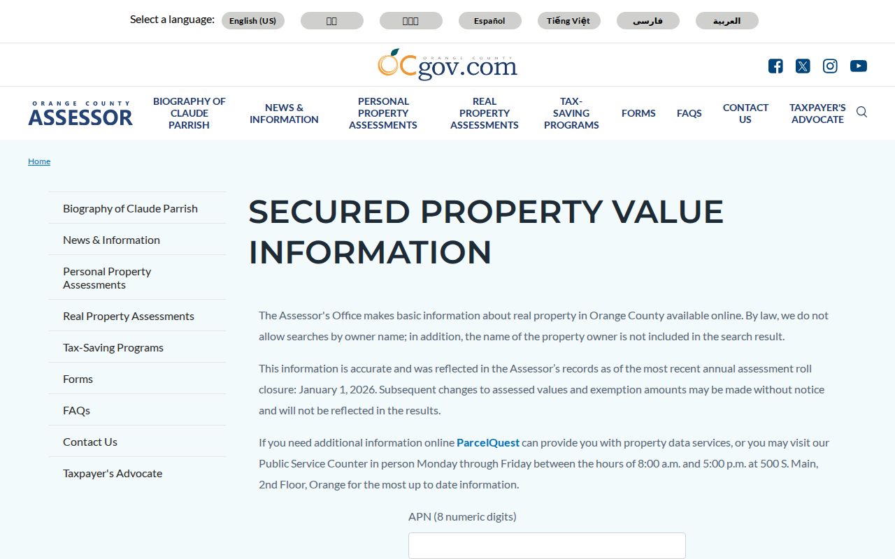
Use the APN result as one piece of the chain. It is not a current resident list.